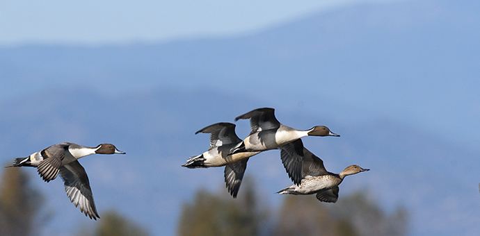
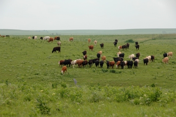
Double A Ranch Conservation Easement
Project Description:
Mountain Ranch Road is a County maintained faciliy connecting the small community of Mountain Ranch to San Andreas. The existing road was narrow and winding with considerable elevation change. Calaveras County hired a design team to develop plans for shoulder improvements and guard railing to improve vehicular safety. The project consisted of approximately 6.5 miles of roadway in two non-contiguous sections. VVH Consulting Engineers surveyors provided the design level topographic surveying and mapping for the projects. The surveying began with establishing NAD 83 and NAVD88 reference stations from known CORS and NGS survey stations. The survey team then established 6 new control points along the improvement route. The sations were occupied for static control sessions and the data was post processed with Trimble TGO software. Design level topographic surveys and mapping were created for the transportation engineers to prepare the improvements plans. VVH surveyors provided construction layouts for the new improvements as well.
The services provided by VVH Consulting Engineers included:
- Topographic Surveys and Mapping
- Construction Staking
Name:
Double A Ranch
Location:
Stanislaus County, CA
Owner/Client:
Double A Ranch/CWA
Year Completed:
2012
NRCS Contact:
Elizabeth Palmer
559-734-8732
VVHCE Staff:
Ryan Vance, Syd Halterman, Aaron Casados, Matt Tornquist, Rick DeCamera, Chris Vierra, Michael Hayes
Surveying Procedures and Equipment used:
- GPS Static/Fast Static post processed data
- Trimble and Spectra L1/L2/GLONASS receivers