NRCS/CWA Easements
Project Description:
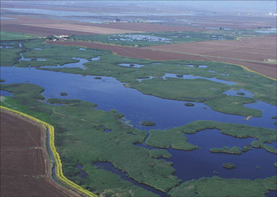
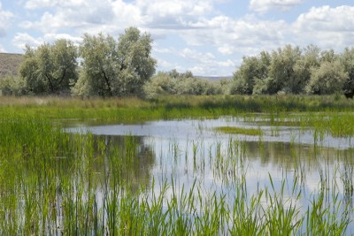
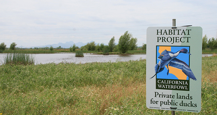
Under a contract with the US Department of Agriculture and the National Resource Conservation Service, California Waterfowl Association (CWA) oversses the acquisition and creation of wetland and grassland habitat. From 2012 to 2015 VVH and its staff surveyed, mapped and created almost 7,000 acres of conservation easements as a subcontractor to CWA. The 20 projects ranged in size from 20 to over 1,600 acres and were located in 11 different Counties from Siskiyou to Merced. The surveys were completed utilizing post-processed static GPS survey methodology, GPS RTK and conventional surveying equipment. Many of the projects were located in remote areas, where access, weather and a harsh environment posed an ever changing set of circumstances to successfully complete the projects for our Client. Once the boundary of the property had been surveyed and identified, VVH prepared plat maps, legal descriptions and access locations for the new conservation easements. Following the easements acquisition, VVH surveyors placed sign posts and permanent monuments to identify the easement boundaries.
The services provided by VVH Consulting Engineers included:
- Boundary/Topographic Surveys
- Preparation of Plat Maps and Legal Descriptions
Name:
CWA Conservation Easements
Location:
Varies – Northern CA
Owner/Client:
NRCS/CWA
Year Completed:
2015
Land Acquisition Value:
$70 million
USDA Contact:
Nate Key
530-674-1461
VVHCE Staff:
Ryan Vance, Syd Halterman, Aaron Casados, Matt Tornquist, Rick DeCamera, Chris Vierra, Michael Hayes
Surveying Procedures and Equipment used:
- GPS Static/Fast Static post processed data
- Trimble and Spectra L1/L2/GLONASS receivers